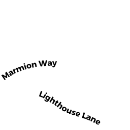
43 MARMION WAY
Owner Information
LEAHY MICHAEL W TRS
43 MARMION WAY
ROCKPORT, MA 1966


Property Details
43 MARMION WAY is classified as a Single Family Ocean front (Cape cod).
The primary structure on this property was built in 1954. There are 1,614ft2 of built area within this property. There is 1,482ft2 of residential/living space within this property. This property is listed as having 7 rooms.
43 MARMION WAY is valued at $1,620,200. The land is valued at $1,322,000 and the structures are valued at $295,600. There is an additional valuation of $2,600 on this property.
This property is in Zone RA. Confirm with local Zoning Board authorities to ensure there are no overlays or other easements on this property.
The most recent deed for 43 MARMION WAY is recorded at the local registrar in Book 36873, Page 284. 43 MARMION WAY was last sold on Thursday, July 19, 2018 for $100.
Assessment data from fiscal year 2021.
Flood Data
This property is partially within the VE Zone (coastal flooding with wave action). Approximately 0.3 acres (41.97%) of the property is within this zone.
The base flood elevation for this flood zone is 25 feet.
This information is sourced from the FEMA National Flood Hazard Layer. See our full disclamer.
Broadband Internet Providers
| Provider | Type | Bandwidth (mbps) | |
|---|---|---|---|
| GCI Communication Corp. | Satellite | 0 | 0 |
| T-Mobile | Fixed Wireless | 25 | 3 |
| Verizon New England Inc. | DSL | 5 | 0 |
| HughesNet | Satellite | 25 | 3 |
| Comcast | Cable | 1000 | 35 |
| Viasat Inc | Satellite | 35 | 3 |
| VSAT Systems, LLC. | Satellite | 2 | 1 |
Broadband service provider data from December 2020.